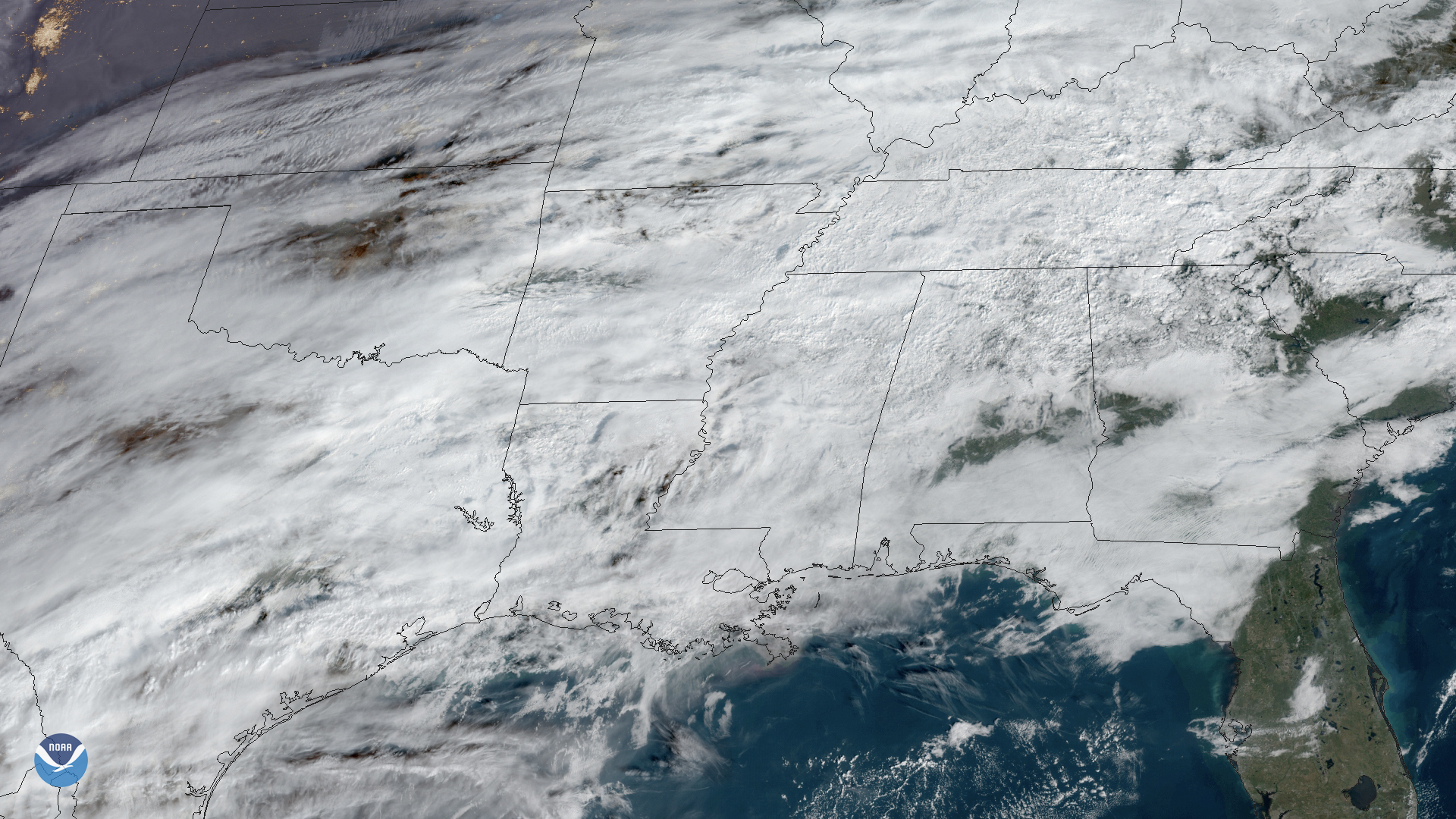
Severe thunderstorms with damaging winds and large hail could strike the Overland Park area as early as Tuesday evening, Oct. 13. Heavy rain and flood risk follow through Thursday.
The National Weather Service issued a flood watch for Johnson County and surrounding areas at 2:05 a.m. Tuesday. KMBC meteorologist Katie Horner designated Tuesday a First Alert Weather Day, with additional flood watches likely as the system unfolds, KMBC reported.
In a Monday, Oct. 12, blog post, Fox 4 noted the Storm Prediction Center placed the Kansas City metro in a level 2 out of 5 risk for severe weather Tuesday evening.
What to expect Tuesday evening
The first round of storms is forecast to develop around 6 p.m., carrying the greatest threat of damaging winds and large hail, according to KMBC.
Heavy downpours could slow travel during the evening commute. The severe weather threat should begin winding down around 10 or 11 p.m.
Heavy rain Wednesday through Thursday
After the stronger storms pass, the focus shifts to flooding. Moisture associated with Hurricane Simon, which skirted Mexico's west coast before feeding into a wider disturbance tracking across the western United States, will fuel additional rounds of rain across the metro, according to a Detroit News report on the record-setting Pacific hurricane season.
Rain is expected to continue overnight Tuesday into Wednesday morning, potentially affecting the morning commute. Showers could linger through midday Wednesday before another round of heavy rain develops later that day.
Flooding is the bigger risk.
Some communities in the metro could pick up more than 3 inches of rain by the time the system moves out, KMBC reported. The severe weather threat drops Wednesday and Thursday, but torrential rainfall becomes the primary concern.
30-degree temperature swing ahead
Tuesday's high near 90 degrees is rare for mid-October. Temperatures that high have occurred only about 50 times in roughly 4,250 October days on record in Kansas City, and just 11 times from Oct. 12 onward, according to Fox 4.
The heat won't last.
By Friday, the high drops to 61 with north winds gusting to 35 mph and wind chills. Saturday's forecast calls for a high of 59 and a morning low around 39.
Residents can monitor conditions through the National Weather Service's Kansas City office.