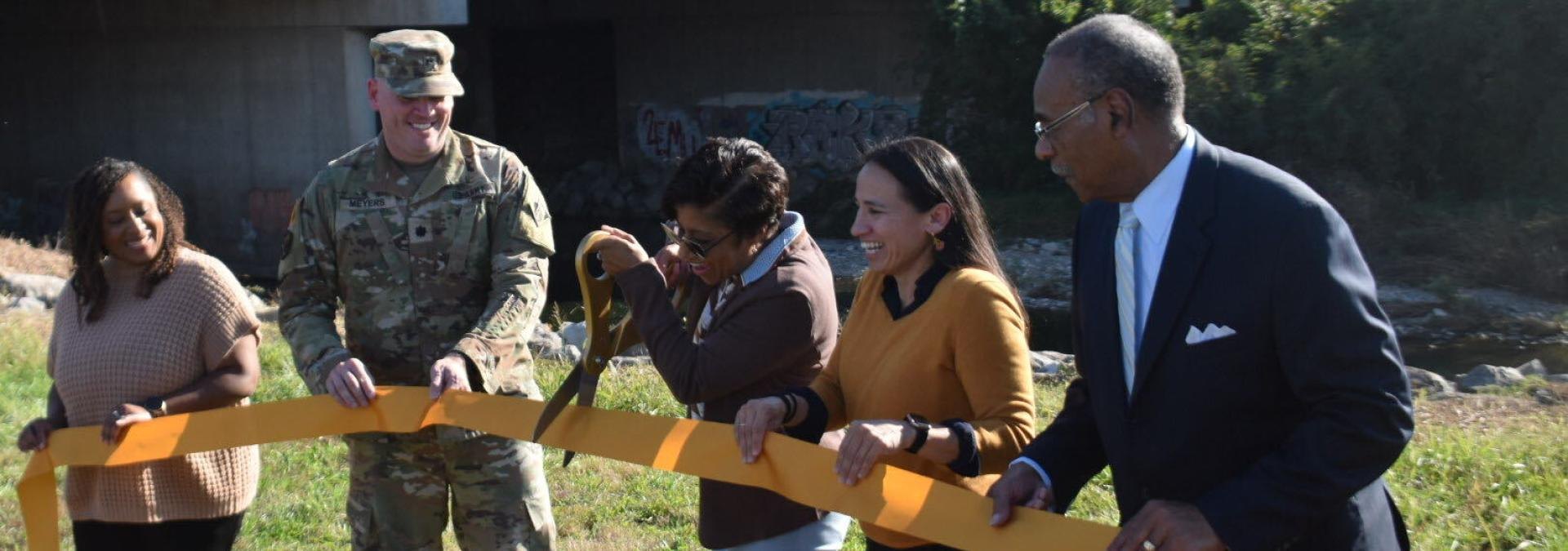
Rep. Sharice Davids and local leaders cut the ribbon Wednesday, Oct. 21, on the Turkey Creek Flood Control Project, marking the end of a nearly 30-year effort to reduce flood risk along the creek.
Davids joined representatives from the U.S. Army Corps of Engineers, the city of Kansas City, Missouri, and the Unified Government of Wyandotte County and Kansas City, Kansas, for the ceremony, according to a press release from Davids' office.
The project began in 1997 and broke ground on its first major construction phase in 2004. Its completion caps nearly 30 years of cooperation among local, state and federal agencies to protect neighborhoods from destructive flooding.
"After nearly three decades of work, today we're celebrating an important milestone in efforts to improve flood protection for our communities," Davids said in the statement.
Davids secured $500,000 in federal funding to advance design work on the related Upper Turkey Creek project, which is evaluating potential flood-risk-reduction improvements in downtown Merriam. She also announced $23.9 million in federal funding for that effort through the bipartisan infrastructure law.
The Upper Turkey Creek project remains in the planning and design phase, according to Davids' office. The Army Corps is working with the city of Merriam to evaluate potential improvements there.
Decades of flooding
The ribbon-cutting comes against a backdrop of devastating floods along Turkey Creek. Major floods struck Merriam in 1977, 1993, 1998, 2017 and 2025, according to the city of Merriam.
The 1998 flood was especially destructive. Just 4.4 inches of rain pushed Turkey Creek nearly 8 feet above flood stage, prompting nearly 100 water rescues across Johnson County. Eleven people died across the metro area. Businesses along the creek reported $2.3 million in losses that year.
In 1993, floodwaters overtook 183 Merriam properties. Losses topped $10 million, and 33 families lost everything when their homes had to be demolished. As recently as 2025, 5.5 inches of overnight rain caused the creek to overflow, flooding businesses and sweeping cars and dumpsters across Merriam Drive.
Turkey Creek can rise from normal conditions to flood stage in less than three hours, according to the city.
What's next for downtown
Much of downtown Merriam remains within a FEMA-designated floodplain, making redevelopment difficult and increasing insurance costs, according to the city.
The city has been developing a Downtown Master Plan with three possible visions for the area's future. The most ambitious option would remove the entire downtown core from the regulatory floodplain, opening the door to a walkable main street with more than 250 homes, shops and restaurants.
At a June 8 City Council meeting, the Army Corps presented a design concept that would protect about 90 acres with more than a mile of floodwalls, 740 feet of levees, and replacement of the Johnson Drive and Merriam Drive bridges. In late August, the Army Corps shared a total estimated project cost of $247 million, according to the city.
Any decision to move forward on the Upper Turkey Creek project would require agreement from both the city and the Army Corps, along with additional congressional authorization.